Skip to content
Search
Log in
Sign up
Cart (
0
)
Menu
About
Celestial Maps and Charts
Country Maps
Folding Maps
Framed Maps
Historic Maps
Large Wall Maps
London Street Maps and Plans
Selected Atlas Maps and Plates
Space Art
Log in
Sign up
Facebook
Instagram
Home
1
›
Historic Maps
2
Historic Maps
Filter by
Filter by
17th Century
1860
18th Century
antique map
Astronomy
Bacons
Bermondsey
Buckinghamshire
Bucks
Camberwell
Celestial
Central London
County Map
County Maps
Creighton
Framed Map
Heavens
Kennington
Lambeth
London
Mid 19th century
Moon
Norfolk
Original
Oval
Planets
Richard Creighton
Seasons
South East London
Southwark
Stars
Street Plan
Sort by
Featured
Most relevant
Best selling
Alphabetically, A-Z
Alphabetically, Z-A
Price, low to high
Price, high to low
Date, old to new
Date, new to old
Original Maps showing different times in history.
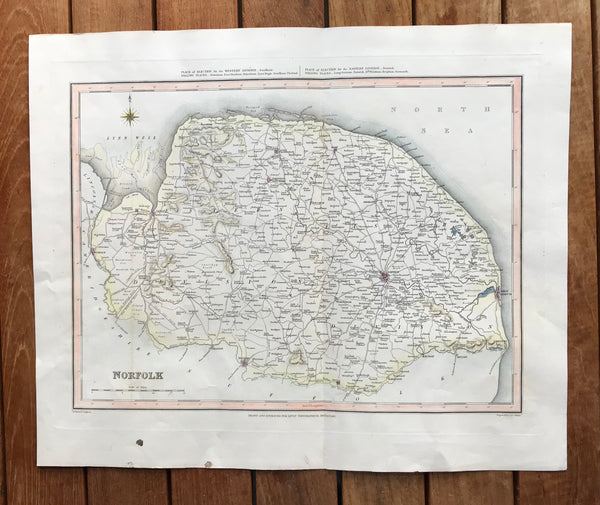
1845 Original Hand Coloured map of Norfolk by Creighton.
Regular price
£40.00
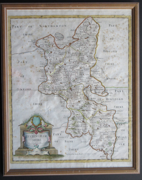
Framed 1695 Map of Buckinghamshire by Morden.
Regular price
£70.00
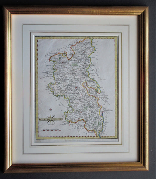
Framed 1793 Map of Buckinghamshire by Cary.
Regular price
£70.00
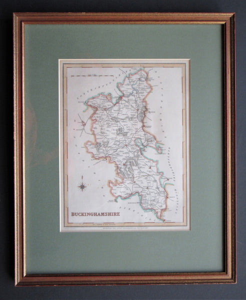
Framed 1840 Map of Buckinghamshire by Creighton.
Regular price
£70.00
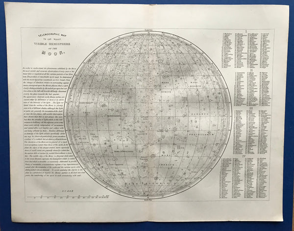
Unmounted 1855 Selongraghic Map of the Whole Visible Hemisphere of the Moon
Regular price
£90.00
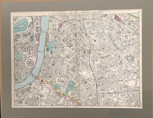
Large Mounted 1880 Street Plan of Southwark by Bacon.
Regular price
£245.00
Set of four 1846 Maps of the Heavens by Dower.
Regular price
£250.00
Choosing a selection results in a full page refresh.
Press the space key then arrow keys to make a selection.